West Hills blog (complete)
HILLS OF THE WEST
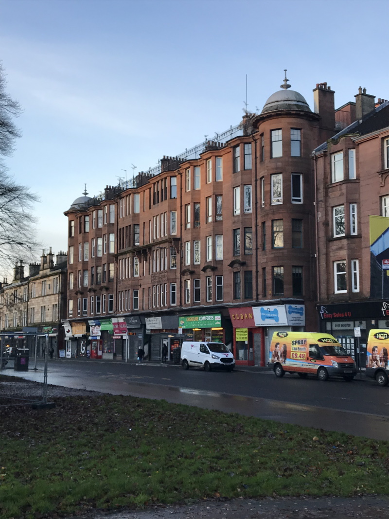
As you go out of Queens Park, you may pass Camphill House, built in 1806 as a private house, later a Museum of Costume and now flats:


.jpg)

Bellahouston Park was bought by Glasgow Corporation in 1895, and opened as a public park in 1896.
In 1938 the Empire exhibition was held at the park:

Of the 200 palaces and pavilions that were built for the exhibition, only the Palace of Art remains:

The most prominent structure was the Tait Tower (officially the Tower of Empire), 300 feet tall. Although it could have remained as a permanent monument after the exhibition, the tower was handed over to the British Army and demolished in 1939. The rumour that the structure was demolished to avoid it being used as a reference point by German bombers is an urban myth!
The CHECKPOINT is located on the hilltop at the site of the tower, and you can still see some of the foundations (the ring), with the checkpoint sculpture beyond:


In 1996 Charles Rennie Mackintosh's House for an Art Lover in the Art Nouveau style was completed from original drawings of 1901, and now serves as a centre for the visual arts:

Running along the south side of the park is Mosspark Boulevard, seen here in the 1920s when the trams still ran along it:

After crossing the boulevard, you go through the Mosspark Estate. This was one of the first housing estates (along with Knightswood) to be built in the city, completed 1923 (photo below was taken in 1927, looking N to the Park) . It contains cottage flats and semi-detached houses, a deliberate departure from the tenements and designed to reduce housing density:

The next CHECKPOINT is in Crookston Wood, on a hilltop which once had a brutalist water tower, demolished a few years ago.
.jpg)
This map shows the water tower (as well as the next 2 checkpoints):

Crookston Castle (CHECKPOINT) was built around 1390, making it the 2nd oldest building in Glasgow (after the Cathedral), It is cared for by Historic Environment Scotland and open to the public.

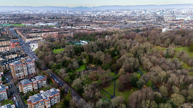
The next CHECKPOINT is the Water Tower of the former Leverndale Hospital (originally called Hawkhead Asylum), built in 1890. Here's a 2019 aerial view after the conversion to private housing:

Then you take your chosen route up through the woods to find the famous "Alien" trig point on Hurlet Hill, the next CHECKPOINT (as at 11/24 its sadly been somewhat defaced).

Depending on your route choice (!) on your way to the Cowglen checkpoint, you may cross this bridge over the Levern Water. This was the main entrance to Househill house (2nd photo), owned by Kate Cranston of tearoom fame, which was demolished in 1939:


Pollok House was built in 1752 and thought to be designed by William Adam, then extended in the early 20th century. Given to the City of Glasgow in 1966 by the Maxwell family. The stone bridge you go over to get to the house was built in 1758.

As you go through the wood (after leaving the Patsy Tree CHECKPOINT) you pass through an area which was excavated in 2008. The conclusion was that here are the remains of a dwelling of the 14th-16th century.
Just before you leave Pollok Park, you go through the gates and past the lodgehouse:

400m off the route as you come out of the park is Haggs Castle, built in 1585 by John Maxwell of Pollok, restored in 1860, used for a time as a council museum and now used again as a private residence.

As you come up Titwood Road and past the Crossmyloof Morrisons supermarket, remember that on this site used to be an impressive ice rink (built 1907, later extended, closed 1986 and demolished in 1988)


Comments
Post a Comment